
Fichier:Central America (orthographic projection).svg

Taille de cet aperçu PNG pour ce fichier SVG : 550 × 550 pixels. Eutes résolucions : 240 × 240 pixels | 480 × 480 pixels | 768 × 768 pixels | 1 024 × 1 024 pixels | 2 048 × 2 048 pixels.
Fichier d’origine (Fichié SVG, résoluchon éd 550 × 550 picsels, diminchon: 354 kio)
Résumè
| Décripchon |
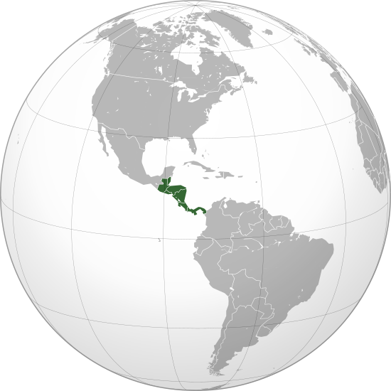
English: Central America (orthographic projection) with colonial borders |
||||
| Date | |||||
| Source |
Traval parsonnel (Texte original : Own work,)
|
||||
| Auteu | Heraldry | ||||
| Pérmission (Réutilisacion éd chole fichier) |
|
||||
| Autres versions |
.svg) |
||||
| SVG information | Le code de ce fichier SVG n'est pas valide en raison de 295 erreurs. |

.svg)
.svg)
.svg)
.svg)
.svg)
.svg)
.svg)
.svg)
.svg)
.svg)
.svg)
.svg)
.svg)
.svg)
.svg)
.svg)
.svg)
.svg)
.svg)
.svg)
.svg)
.svg)
.svg)
.svg)
.svg)
.svg)
.svg)
.svg)
.svg)
.svg)
.svg)
.svg)
.svg)
.svg)
.svg)
.svg)
.svg)
.svg)
.svg)
.svg)
.svg)
.svg)
.svg)
.svg)
.svg)
.svg)
.svg)
.svg)
.svg)
.svg)
.svg)
.svg)
.svg)
.svg)
.svg)
.svg)
.svg)
.svg)
.svg)
.svg)
.svg)
.svg)
.svg)
.svg)
.svg)
.svg)
.svg)
.svg)
.svg)
.svg)
.svg)
.svg)
.svg)

.svg)

.svg)

.svg)
.svg)
.svg)
.svg)
.svg)
.svg)
.svg)


.svg)
.svg)
.svg)
.svg)
.svg)
.svg)
.svg)

.svg)
.svg)
.svg)
.svg)
.svg)
.svg)
.svg)
.svg)
.svg)

.svg)
.svg)
.svg)
.svg)
.svg)
.svg)
.svg)
_without_national_boundaries.svg)
.svg)
.svg)
.svg)
.svg)
.svg)
.svg)

.svg)
.svg)
.png)
.svg)
.svg)
.svg)
.svg)

.svg)
.svg)
.svg)
.svg)
.svg)
.svg)
.svg)
.svg)
.svg)
.svg)
.svg)

.svg)
.svg)
.svg)
.svg)
.svg)
.svg)
.svg)
.svg)
.svg)

.svg)
.svg)

.svg)
.svg)
.svg)
.svg)
.svg)
.svg)
.svg)
.svg)
.svg)
.svg)
.svg)
.svg)
.svg)
.svg)
.svg)
.svg)
.svg)
.svg)
.svg)
.svg)
.svg)
.svg)
.svg)
.svg)
.svg)
.svg)
.svg)
_-_Crimea_disputed.svg)
.svg)
.svg)
.svg)
.svg)
.svg)
.svg)
.svg)
.svg)
.svg)
.svg)
.svg)
_political.svg)
.svg)
.svg)
.svg)
.svg)
_-_Crimea_disputed_-_no_borders.svg)
.svg)
.svg)
.svg)
.svg)
.svg)
.svg)
.svg)
.svg)
.svg)
.svg)
.svg)

.svg)
.svg)
.svg)

.png)
.svg)
.svg)
.svg)
.svg)
.svg)
.svg)
.svg)
.svg)
.svg)
.svg)
.svg)
.svg)
.svg)
.svg)
.svg)
.svg)
.svg)
.svg)
.svg)
.svg)
.svg)
.svg)
.svg)
.svg)
.svg)
.svg)
.svg)
.svg)
.svg)
.svg)
.svg)
.svg)
.svg)
.svg)
.png)
.svg)
.svg)
.svg)
_(orthographic_projection).png)
.svg)
.svg)
.svg)
.svg)
.svg)
Licince
Moi, en tant que détenteur des droits d’auteur sur cette œuvre, je la publie sous la licence suivante :

|
Os avez l' pérmission d' copier, distribuer pi modifier chol documint slon chés térmes del GNU Free Documentation License vérsion 1.2 obin toute vérsion ultérieure publièe pèr el Free Software Foundation, sans sékcions inaltérabes, sans teske d' prumière pache d' couvérture pi sans teske ed darène pache d' couvérture. Un egzimploère del licince est inclus dins l' sékcion intitulée GNU Free Documentation License. |
| Ech fichié-lo il est disponibe slon chés térmes del licince Creative Commons Attribucion - Partage dins chés meumes Conditions 3.0 (poin transposée). | ||
| ||
| Ce bandeau de licence a été ajouté à ce fichier dans le cadre de la procédure de mise à jour des licences des images sous GFDL. |
Histoère dech fichié
Buke su eune date/heure pou vir ch'fichié conme il étoait ach momint-lo.
.svg&dir=prev)
.svg&offset=20090710081847)
.svg&offset=&limit=20)
.svg&offset=&limit=50)
.svg&offset=&limit=100)
.svg&offset=&limit=250)
.svg&offset=&limit=500)
| Date/Tans | Tiote image | Diminsions | Uzeu | Fichié éd chés conmints | |
|---|---|---|---|---|---|
| courant | 29 ed Join 2023 à 02:01 | | 550 × 550 (354 kio) | Avaflyne | Reverted to version as of 05:29, 26 June 2023 (UTC) |
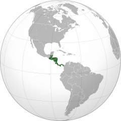
| 26 ed Join 2023 à 14:15 |  | 2 048 × 2 048 (391 kio) | HelpfulHens | Mexico is part of Central America according the the United Nations | |
| 26 ed Join 2023 à 05:29 |  | 550 × 550 (354 kio) | Treetoes023 | Reverted to version as of 15:04, 25 November 2009 (UTC) | |
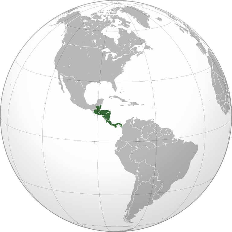
| 25 ed Join 2023 à 20:31 |  | 2 048 × 2 048 (391 kio) | HelpfulHens | Removed Colombia and Venezuela | |
| 13 ed Marche 2023 à 13:11 |  | 550 × 550 (354 kio) | LR0725 | Reverted to version as of 15:04, 25 November 2009 (UTC) | |
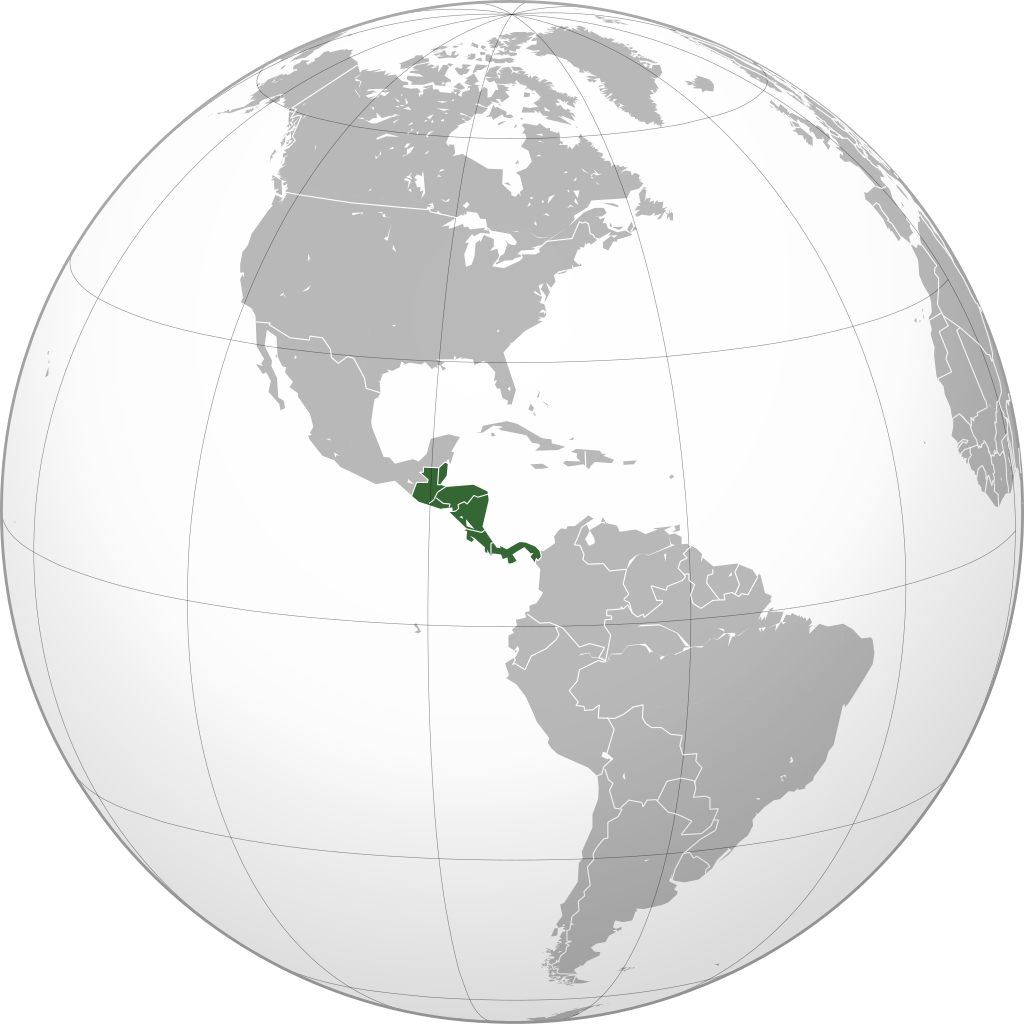
| 9 ed Marche 2023 à 22:26 |  | 600 × 600 (519 kio) | TBAG654321 | Added Mexico | |
| 25 ed Novimbe 2009 à 15:04 |  | 550 × 550 (354 kio) | Keepscases | borders should be more intense | |
| 7 ed Sétimbe 2009 à 16:41 |  | 550 × 550 (354 kio) | TownDown | sized according | |
| 10 ed Juillet 2009 à 08:32 |  | 541 × 541 (353 kio) | TownDown | details | |
| 10 ed Juillet 2009 à 08:18 |  | 541 × 541 (354 kio) | TownDown | focused |
Usage dech fichié
L'pache d'apreu est loyée à ch'fichié-lo :
Usage global du fichier
Chés eutes wikis suivants uzette chole fichier :
- Utilisacion édseur af.wikipedia.org
- Utilisacion édseur am.wikipedia.org
- Utilisacion édseur ar.wikipedia.org
- Utilisacion édseur ar.wikinews.org
- Utilisacion édseur be-tarask.wikipedia.org
- Utilisacion édseur be.wikipedia.org
- Utilisacion édseur bg.wikipedia.org
- Utilisacion édseur bi.wikipedia.org
- Utilisacion édseur bn.wikipedia.org
- Utilisacion édseur br.wikipedia.org
- Utilisacion édseur ceb.wikipedia.org
- Utilisacion édseur co.wikimedia.org
- Utilisacion édseur cs.wikipedia.org
- Utilisacion édseur en.wikipedia.org
- Talk:Central America
- Wikipedia:Userboxes/Location
- Wikipedia:Userboxes/Location/Americas
- User:UdovdM
- San Sombrèro
- User:Buaidh
- Wikipedia:WikiProject Central America
- Template:User WikiProject Central America
- Category:Mammals of Central America
- Category:Birds of Central America
- Template:User WP El Salvador
- Wikipedia:Userboxes/Travel
- Category:WikiProject Central America participants
- Category:Jews and Judaism in Central America
- User:Buaidh/Test4
- Template:User interest Belize
- Template:User interest Belize/doc
- Template:User interest Costa Rica
- Template:User interest Costa Rica/doc
- Template:User interest El Salvador
- Template:User interest El Salvador/doc
- Template:User interest Guatemala
- Template:User interest Guatemala/doc
- Template:User interest Honduras
- Template:User interest Honduras/doc
- Template:User interest Nicaragua
Vir davantage édseur l’utilisacion globale éd chole fichié-lo.
.svg)
.svg)