
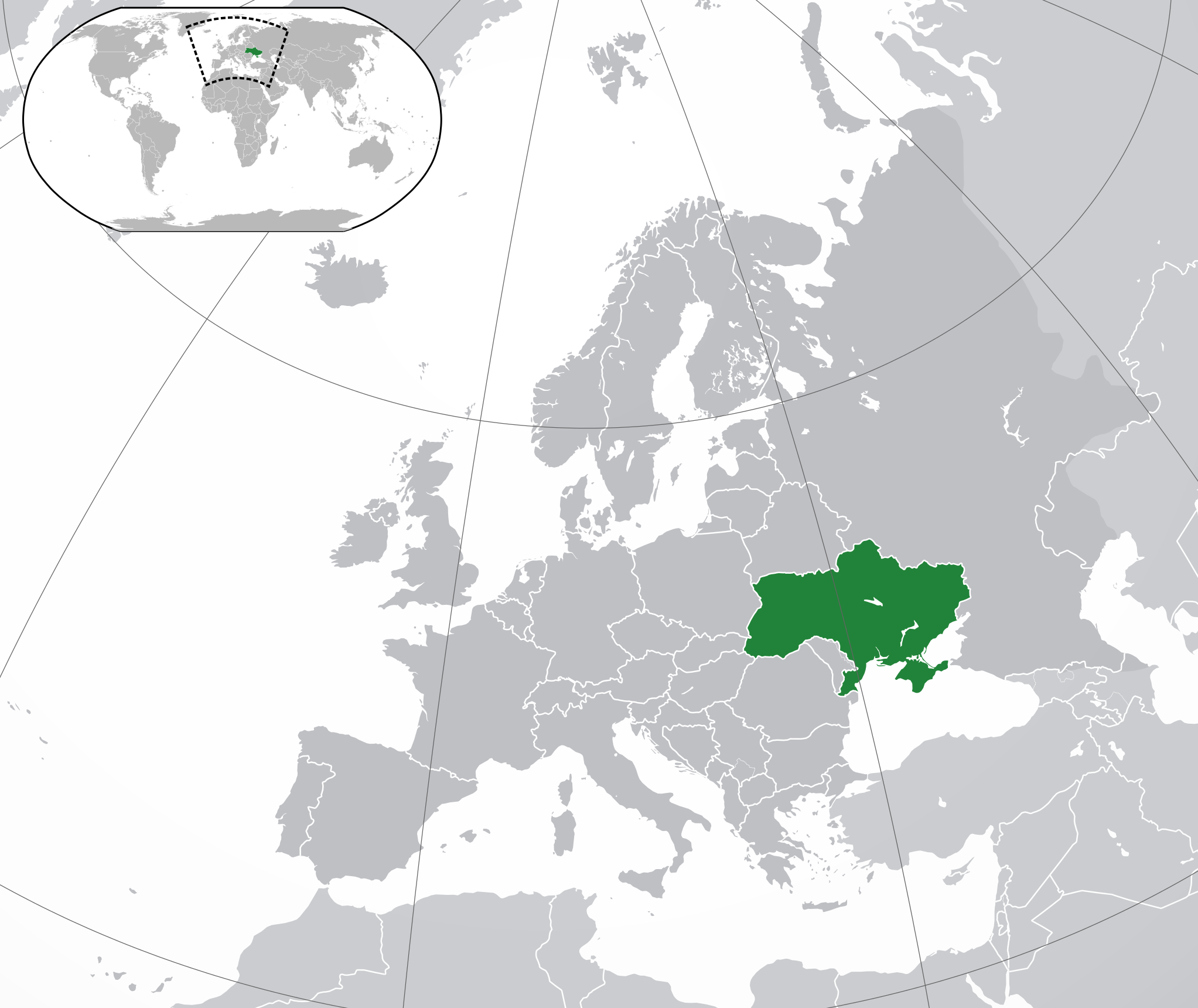
Fichier:Europe-Ukraine.svg

Taille de cet aperçu PNG pour ce fichier SVG : 713 × 600 pixels. Eutes résolucions : 285 × 240 pixels | 571 × 480 pixels | 913 × 768 pixels | 1 218 × 1 024 pixels | 2 435 × 2 048 pixels | 2 045 × 1 720 pixels.
Fichier d’origine (Fichié SVG, résoluchon éd 2 045 × 1 720 picsels, diminchon: 7,33 Mio)
Résumè
| Décripchon | |
| Date | |
| Source | Traval parsonnel |
| Auteu |
|
| Autres versions |
|
| SVG information | Le code de ce grand fichier SVG n'est pas valide en raison de 12 erreurs. |
.svg)
Licince
Moi, en tant que détenteur des droits d’auteur sur cette œuvre, je la publie sous la licence suivante :
Ce fichier est disponible selon les termes de la licence Creative Commons Attribution 3.0 Non transposée.
- Os ètes libe :
- éd partager – éd copier, distribuer pi transmète chole euve
- d’adapter – éd modifier chole euve
- Dsous chés condicions suivantes :
- patérnitè – Os d'vez donner chés informacions appropriées concernant l'auteu, fournir un loyen vers el licince, et indiquer si des modificacions ont tè foaites. Os povez foaire cha pèr tout moéyin raisonnabe, mais poin d'eune manière qui suggérerait qu’il vos soutienne o approuve l'utilisacion éq vos in foaites.
Histoère dech fichié
Buke su eune date/heure pou vir ch'fichié conme il étoait ach momint-lo.
| Date/Tans | Tiote image | Diminsions | Uzeu | Fichié éd chés conmints | |
|---|---|---|---|---|---|
| courant | 12 ed Déchimbe 2022 à 17:19 | | 2 045 × 1 720 (7,33 Mio) | Alexassandro | Reverted to version as of 14:22, 11 August 2015 (UTC) |
| 10 ed Marche 2017 à 01:18 |  | 2 045 × 1 720 (7,34 Mio) | Geom10 | fixed disputed borders | |
| 11 d'Aout 2015 à 14:22 |  | 2 045 × 1 720 (7,33 Mio) | Seryo93 | border is suitable for uncontrolled-territory variant | |
| 11 d'Aout 2015 à 08:29 |  | 2 045 × 1 720 (7,33 Mio) | Seryo93 | Second attempt at uploading | |
| 11 d'Aout 2015 à 08:24 |  | 2 045 × 1 720 (7,33 Mio) | Seryo93 | Isthmus of Perekop was too wide. Updated to match File:Europe-Ukraine (disputed territory).svg (except colour, of course) | |
| 19 ed Marche 2014 à 16:03 |  | 2 045 × 1 720 (2,7 Mio) | A.Savin | Reverted to pre-editwar state | |
| 18 ed Marche 2014 à 20:06 |  | 2 045 × 1 720 (2,71 Mio) | Артур михайлович | Reverted to version as of 17:05, 18 March 2014 | |
| 18 ed Marche 2014 à 17:06 |  | 2 045 × 1 720 (2,71 Mio) | Misha motsniy | по примеру с оккупироваными териториями Грузии и Кипра | |
| 18 ed Marche 2014 à 17:05 |  | 2 045 × 1 720 (2,71 Mio) | Misha motsniy | по примеру с оккупироваными териториями Грузии и Кипра | |
| 18 ed Marche 2014 à 17:04 |  | 2 045 × 1 720 (2,71 Mio) | Misha motsniy | по примеру с оккупироваными териториями Грузии и Кипра |
.svg)
Usage dech fichié
L'pache d'apreu est loyée à ch'fichié-lo :
Usage global du fichier
Chés eutes wikis suivants uzette chole fichier :
- Utilisacion édseur ady.wikipedia.org
- Utilisacion édseur af.wikipedia.org
- Utilisacion édseur af.wiktionary.org
- Utilisacion édseur ami.wikipedia.org
- Utilisacion édseur am.wikipedia.org
- Utilisacion édseur ang.wikipedia.org
- Utilisacion édseur arc.wikipedia.org
- Utilisacion édseur ar.wikipedia.org
- Utilisacion édseur av.wikipedia.org
- Utilisacion édseur awa.wikipedia.org
- Utilisacion édseur az.wiktionary.org
- Utilisacion édseur ba.wikipedia.org
- Utilisacion édseur bbc.wikipedia.org
- Utilisacion édseur be-tarask.wikipedia.org
- Utilisacion édseur be.wikipedia.org
- Utilisacion édseur crh.wikipedia.org
- Utilisacion édseur cu.wikipedia.org
- Utilisacion édseur dag.wikipedia.org
- Utilisacion édseur da.wikipedia.org
- Utilisacion édseur din.wikipedia.org
- Utilisacion édseur en.wikipedia.org
- Utilisacion édseur es.wikipedia.org
- Utilisacion édseur fi.wikipedia.org
- Utilisacion édseur fj.wikipedia.org
- Utilisacion édseur gcr.wikipedia.org
- Utilisacion édseur hr.wikipedia.org
- Utilisacion édseur incubator.wikimedia.org
- Utilisacion édseur inh.wikipedia.org
- Utilisacion édseur it.wikipedia.org
- Utilisacion édseur jam.wikipedia.org
- Utilisacion édseur ja.wikipedia.org
- Utilisacion édseur ka.wikipedia.org
- Utilisacion édseur kg.wikipedia.org
- Utilisacion édseur li.wikipedia.org
- Utilisacion édseur lo.wikipedia.org
- Utilisacion édseur lt.wikipedia.org
Vir davantage édseur l’utilisacion globale éd chole fichié-lo.