
Fichier:Map of region of Calabria, Italy.svg

Taille de cet aperçu PNG pour ce fichier SVG : 288 × 522 pixels. Eutes résolucions : 132 × 240 pixels | 265 × 480 pixels | 423 × 768 pixels | 565 × 1 024 pixels | 1 130 × 2 048 pixels.
Fichier d’origine (Fichié SVG, résoluchon éd 288 × 522 picsels, diminchon: 91 kio)
Résumè
| Décripchon | |
| Date | |
| Source | Traval parsonnel |
| Auteu | Vonvikken |
| Autres versions |
    |
Cette image vectorielle non W3C-spécifiée a été créée avec Inkscape .
W3C-validity not checked.
Licince
| Moi, propriétaire des droits d’auteur sur cette œuvre, la place dans le domaine public. Ceci s'applique dans le monde entier. Dans certains pays, ceci peut ne pas être possible ; dans ce cas : J’accorde à toute personne le droit d’utiliser cette œuvre dans n’importe quel but, sans aucune condition, sauf celles requises par la loi. |
Histoère dech fichié
Buke su eune date/heure pou vir ch'fichié conme il étoait ach momint-lo.
| Date/Tans | Tiote image | Diminsions | Uzeu | Fichié éd chés conmints | |
|---|---|---|---|---|---|
| courant | 22 ed Juillet 2010 à 13:45 | | 288 × 522 (91 kio) | Vonvikken | Added province boundaries. |
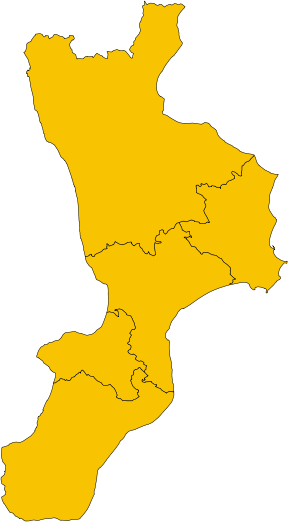
| 8 ed Join 2010 à 19:42 |  | 288 × 522 (45 kio) | Vonvikken | == {{int:filedesc}} == {{Information |Description={{de|1=Karte von Region Kalabrien, Italien}} {{en|1=Map of the region of Calabria, Italy}} {{it|1=Mappa della regione Calabria, Italia}} |Source={{own}} |Author=Vonvikken |Date=2010-06-0 |
Usage dech fichié
Autchune pache n'est loïée aveuc ch'fichié-lo