
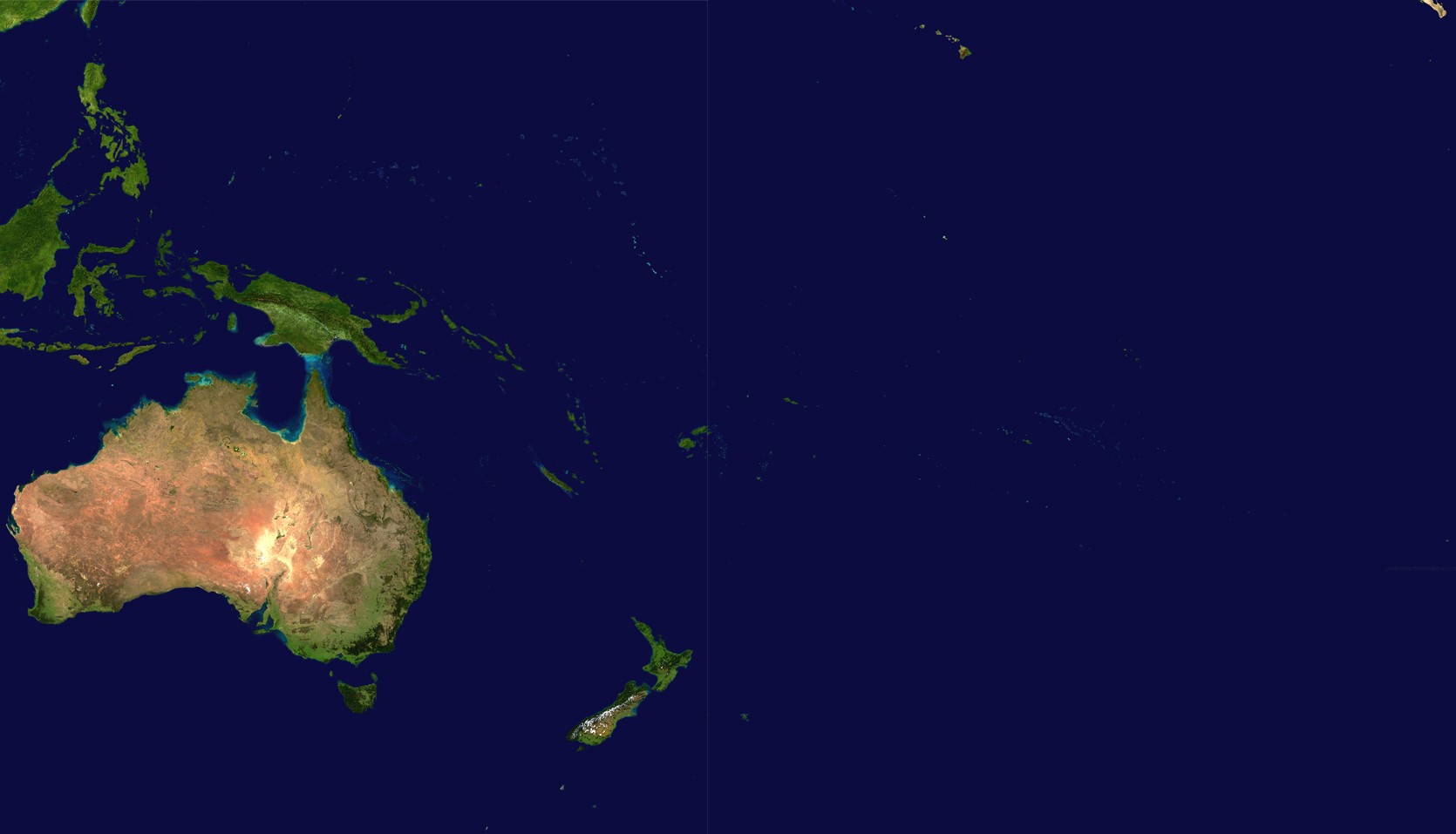
Fichier:Oceania satellite.jpg
Taille éd chl' apérchu : 800 × 458 pixels. Eutes résolucions : 320 × 183 pixels | 640 × 367 pixels | 1 024 × 587 pixels | 1 670 × 957 pixels.
Fichier d’origine (1 670 × 957 picséls, diminchon dech fichié: 111 kio, MIME tipe: image/jpeg)
source: http://visibleearth.nasa.gov/images/2433/land_shallow_topo_21600.tif copie d'archive at the Wayback Machine
| Ce fichier provient de la NASA. Sauf exception, les documents créés par la NASA ne sont pas soumis à copyright. Pour plus d'informations, voir la politique de copyright de la NASA. | ||
 |
Attention :
|
Histoère dech fichié
Buke su eune date/heure pou vir ch'fichié conme il étoait ach momint-lo.
| Date/Tans | Tiote image | Diminsions | Uzeu | Fichié éd chés conmints | |
|---|---|---|---|---|---|
| courant | 14 ed Join 2023 à 18:54 | | 1 670 × 957 (111 kio) | Treetoes023 | Didn't work the first time so I'm trying again. |
| 14 ed Join 2023 à 18:46 |  | 1 664 × 961 (111 kio) | Treetoes023 | Zoomed in image to remove unnecessary areas outside of Oceania. | |
| 19 d'Aout 2005 à 08:05 |  | 2 349 × 1 155 (755 kio) | っ | source: http://visibleearth.nasa.gov/images/2433/land_shallow_topo_21600.tif {{PD-USGov-NASA}} Category:Maps of Oceania Oceania |
Usage dech fichié
L'pache d'apreu est loyée à ch'fichié-lo :
Usage global du fichier
Chés eutes wikis suivants uzette chole fichier :
- Utilisacion édseur af.wikipedia.org
- Utilisacion édseur ar.wikipedia.org
- Utilisacion édseur ar.wikinews.org
- Utilisacion édseur arz.wikipedia.org
- Utilisacion édseur ast.wikipedia.org
- Utilisacion édseur ba.wikipedia.org
- Utilisacion édseur ca.wikipedia.org
- Utilisacion édseur cdo.wikipedia.org
- Utilisacion édseur co.wikipedia.org
- Utilisacion édseur crh.wikipedia.org
- Utilisacion édseur cs.wikipedia.org
- Utilisacion édseur cy.wikipedia.org
- Utilisacion édseur de.wikipedia.org
- Utilisacion édseur el.wikipedia.org
- Utilisacion édseur en.wikipedia.org
- Utilisacion édseur eo.wikipedia.org
- Utilisacion édseur es.wikipedia.org
- Utilisacion édseur es.wikivoyage.org
- Utilisacion édseur et.wikipedia.org
- Utilisacion édseur fiu-vro.wikipedia.org
- Utilisacion édseur fi.wikipedia.org
- Utilisacion édseur fo.wikipedia.org
- Utilisacion édseur fr.wikipedia.org
Vir davantage édseur l’utilisacion globale éd chole fichié-lo.